Land Surveying
Ground surveying
Topgraphic surveys
By definition Surveying is the technique and science of accurate measurment and relative positioning of features that appear on the earth's surface.
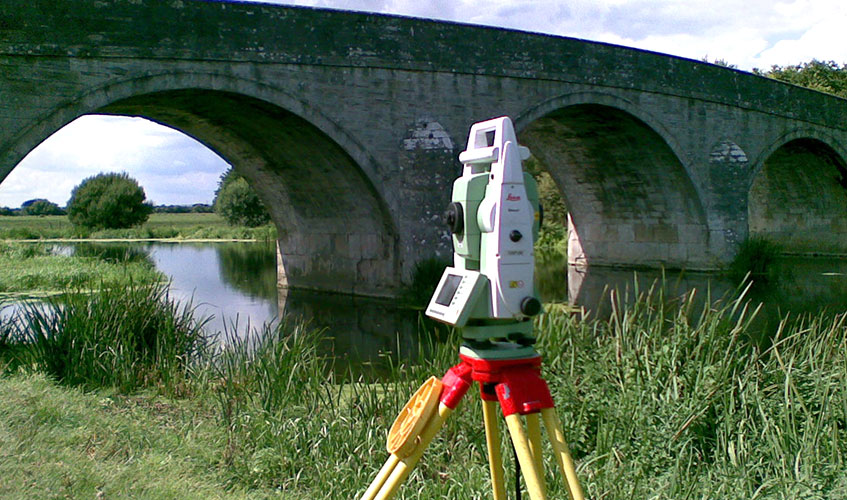
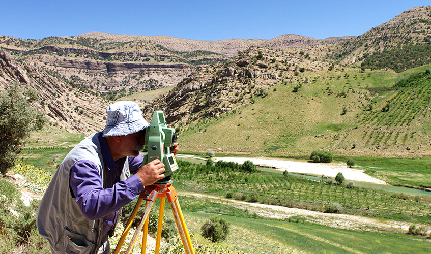
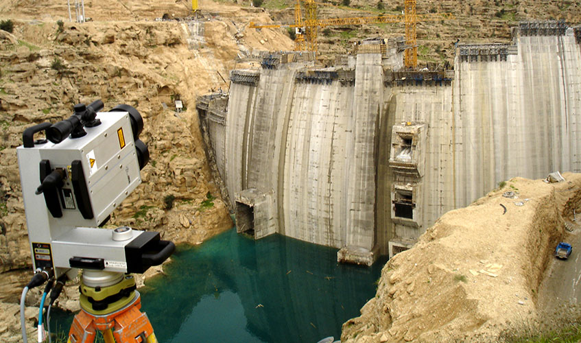
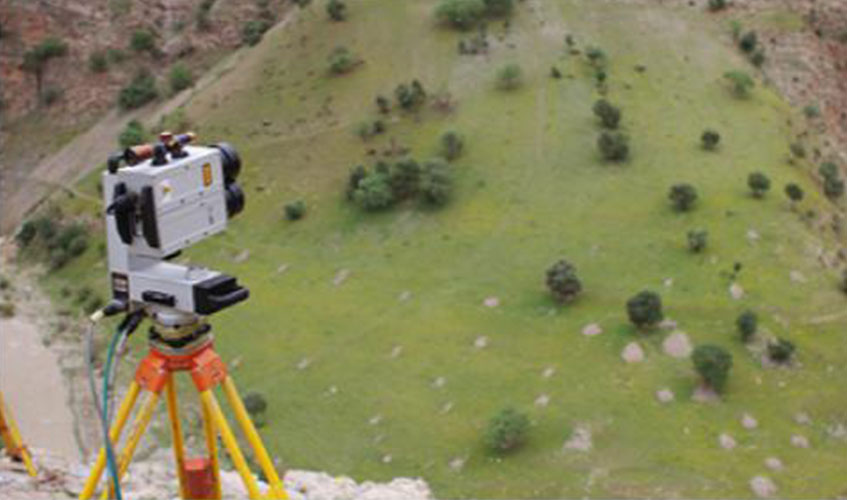
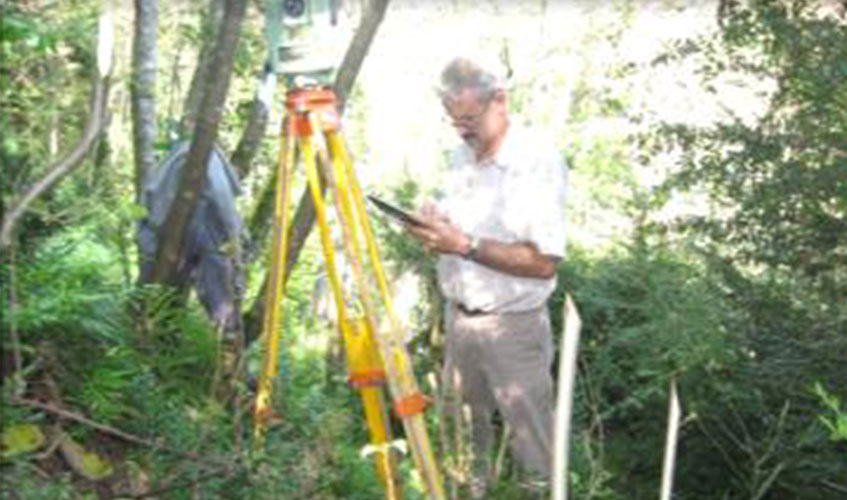
Surveyors determine the position of objects by measuring distances, angles, height differences ,etc using surveying equipments, and calculate coordinates of features. These features are drawn to prepare variety of maps with different applications.
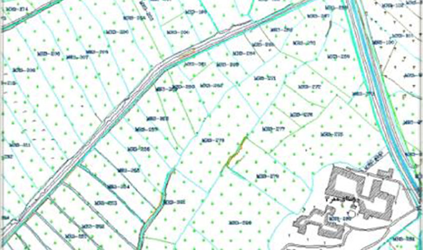
One of these types of maps is Topographic maps that show the terrain features and geographical location of them.
Different scales of these kinds of maps are used for engineering based studies.
The preparation process of topographic maps in different scales includes following phases:
- Reconnaissance phase
- Design of Primary Network(horizontal & vertical)
- Construction and establishment of Primary Network
- Connection between established Network and national reference Datum
- Conducting field observations in order to provide the required information for topographic maps in various scales.
- Processing of the observation and adjustment of the networks
- Drawing topographic maps
- Quality control
- generation of map layers for GIS (GIS-READY format)
The Surveying, Microgeodesy and Hydrography Section of Mahabghodss consulting engineering company, provides clients with a wide range of topographic maps such as urban maps, water conveyance corridor maps, (canals, drains, pipe lines), dam reservoir maps, dam site maps, topographic map of irrigation and drainage network from lands located downstream of dams, map of irrigation and drainage lands along the water conveyance systems, topographic maps for river studies, longitudinal profiles and cross sections along rivers as well as structures (dam, culvert, dike ,bridge ,etc) according to the client needs.
Cadatral Surveys
The river banks and downstream of dams, generally include agriculture and non-agriculture lands and also manmade structures such as villages and habitation areas.
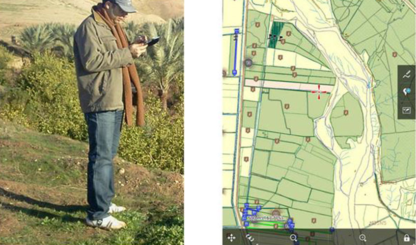
Providing maps of land boundaries and location and also collecting descriptive information such as ownership, the type of cultivations (land use) and irrigation methods, etc for each individual parcel of these lands is necessary for engineering projects.
These information will help us to provide clients to estimate damages caused by dam reservoirs and planning for integration of related documents necessary for land purchase.
In this regard, descriptive information of each parcel will be collected and stored as a database in GIS.
Necessary methods should be applied according required precisions in cadastral surveys, and also all properties should be confirmed by relevant authorities.
Hydrographic surveys
Hydrography is the branch of surveying science which deals with the topographic mapping and description of the physical features under seas and water bodies.
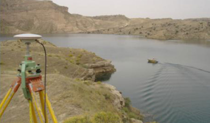
All activities of measuring of the depths of seas, oceans, natural lakes, dam reservoirs and rivers lie in the scope of hydrography science.
Hydrographical surveying include the depth, tidal and water flow measurements and also determination of types of materials in river/sea/reservoir bed, various features position and topography of seafloors, riverbeds and reservoirs.
In order to study sedimentation of reservoirs and large rivers, the Hydrography group of Surveying, Micro geodesy and Hydrography Section in Mahabghodss consulting engineering company , has the ability to provide maps of the rivers, seas and reservoirs along with volume and surface charts